
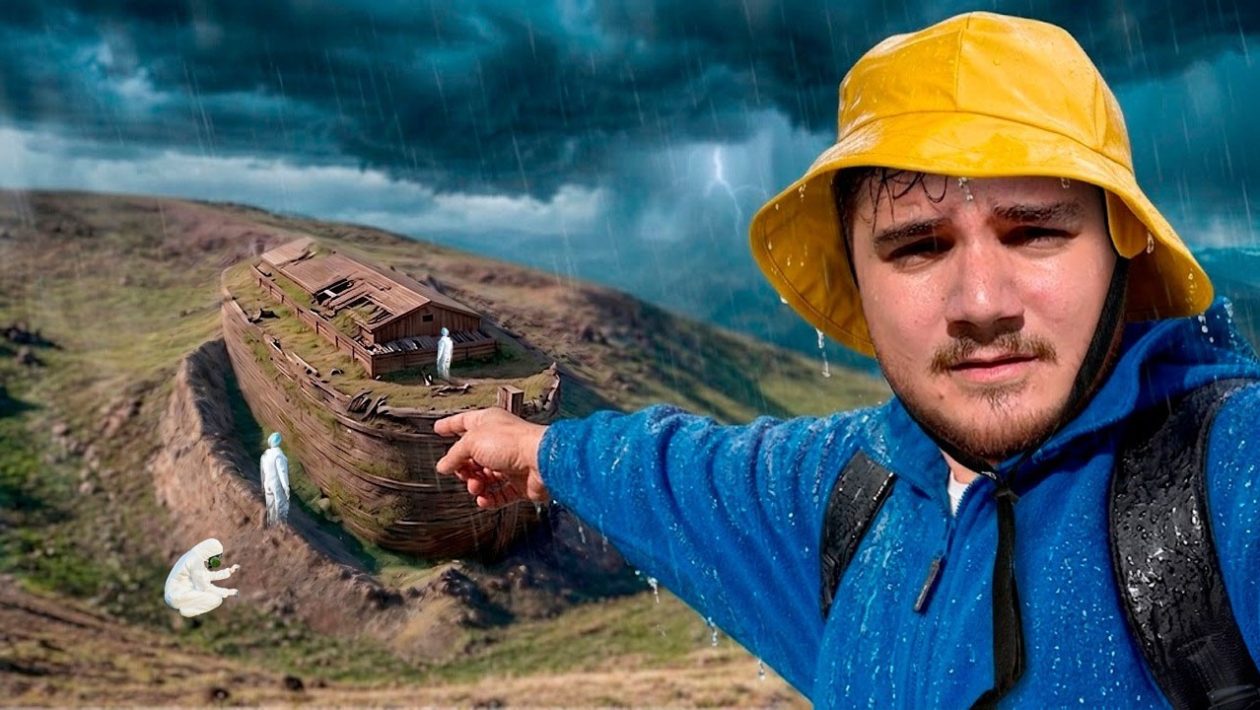
A Mystery in the Mountains
Deep in the rugged terrain near the Turkey-Iran border lies a geological anomaly that has captivated researchers for decades. Known as the Durupinar formation, the massive structure sits among the mountains of Ararat.
Its distinct, boat-like shape has sparked intense global debate. Researchers and historians continue to question whether this rocky outline is merely a natural occurrence or the petrified remains of Noah’s Ark.
The 80-Year-Old Aerial Photograph
The modern fascination with the site began nearly 80 years ago. A pilot conducting routine aerial surveys captured a photograph of an impossible silhouette buried in the mountainside.
The image revealed a symmetrical shape that contrasted sharply with the surrounding jagged landscape. This single photograph triggered a wave of interest and subsequent expeditions to eastern Turkey.
The Genesis Connection
The location of the Durupinar anomaly aligns closely with ancient texts. According to Genesis 8:4, the biblical vessel came to rest “on the mountains of Ararat” after the great flood receded.
Rather than pointing to a single isolated peak, the scripture refers to a broader mountainous region. The Durupinar formation rests precisely within this historical geographic zone, fueling theories that it matches the biblical account.
Geological Quirk or Ancient Vessel?
For years, scientists and biblical scholars have clashed over the site’s true origins. Geologists generally argue that the structure is a natural limonite deposit.
They explain that unique erosion patterns over millennia carved the rock into a shape mimicking a ship’s hull. However, independent investigators argue the dimensions and angular structures found at the site are too precise for nature to have formed by chance.
High-Tech Investigations
Today, the investigation relies on advanced technology rather than visual observation alone. Teams like Noah’s Ark Scans, led by researchers such as Andrew Jones, are utilizing ground-penetrating radar to map the terrain.
Their ongoing project aims to determine exactly what lies beneath the hardened mud and rock. By collecting 3D subterranean data, researchers hope to finally settle the debate over the Durupinar formation.