
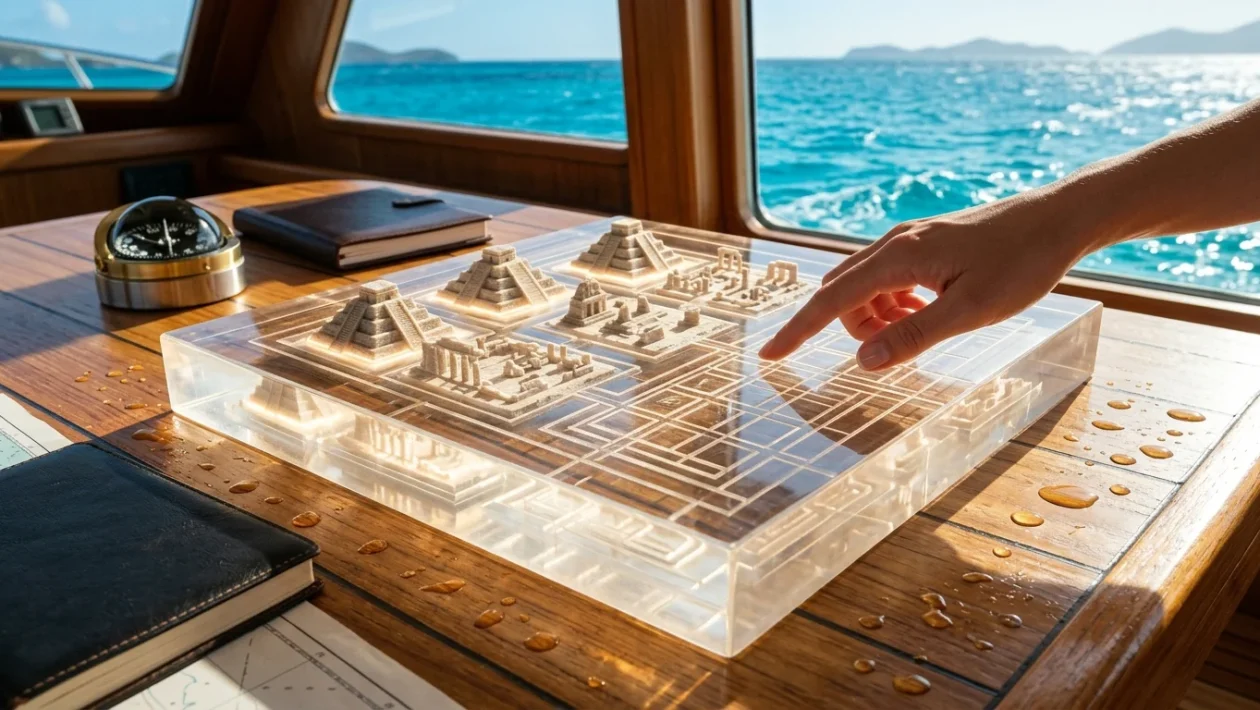
Underwater sonar image showing massive geometric stone structures resembling an ancient sunken city.
An Unexpected Sonar Return
In 2001, a routine sonar sweep off the western coast of Cuba captured something that defied standard geology. Marine engineer Paulina Zelitsky and her husband, Paul Weinzweig, were scanning the Caribbean seafloor for sunken Spanish galleons.
Instead, their monitors displayed massive, symmetrical silhouettes resting nearly 700 meters below the surface. Operating under their Canadian company, Advanced Digital Communications (ADC), the team mapped geometric patterns near the Guanahacabibes peninsula.
Geometric stone formations resting deep beneath the ocean surface.
The readouts resembled an urban street grid, complete with pyramid-like structures. Zelitsky described the find as a “wonderful structure which really looks like it could have been a large urban center.”
The 700-Meter Depth Problem
The sonar images sparked immediate global interest, with initial theories suggesting a 6,000-year-old settlement. However, the physics of the discovery presented a massive chronological hurdle.
For a city to exist on dry land at a depth of 700 meters, the sea level would have to drop drastically. Geological records indicate the ocean was last at that level during the Ice Age, roughly 50,000 years ago.
This predates the accepted timeline of human arrival in the Americas by tens of thousands of years. To sink a coastal city to 700 meters, immense and prolonged geological subsidence would be required, contradicting known models of human development.
Skepticism and Pareidolia
The scientific community quickly divided into two camps. Many geologists argue the sonar hits are nothing more than natural basaltic formations.
They point to pareidolia—the human brain’s tendency to recognize familiar shapes in random patterns. Without physical rock samples pulled directly from the site, skeptics maintain the structures are purely natural.
Cuban geologist Manuel Iturralde-Vinent acknowledged the unusual nature of the sonar scans but urged caution. “It is strange, but we have no explanation,” he noted, suggesting ocean currents, tectonics, and erosion could create artificial-looking rock formations.
Michael Faught, an underwater archaeologist at Florida State University, echoed this caution. He stated that while the idea was fascinating, such structures would be “extremely advanced for anything we would see in the New World for that time frame.”
A Scientific Limbo
Despite the initial buzz, follow-up expeditions never materialized. Deep-water submarine missions require massive funding and navigate complex political landscapes.
Without high-resolution 3D scans or unmanned submersibles, the Cuban underwater anomalies remain locked in a scientific blind spot. Supporters of the sunken Caribbean city hypothesis often draw comparisons to other paradigm-shifting discoveries.
Turkey’s Göbekli Tepe pushed back the timeline of monumental architecture by millennia, while Japan’s Yonaguni Monument remains a fiercely debated underwater anomaly. More than two decades later, the Guanahacabibes sonar hits endure as a tantalizing mystery, leaving experts to wonder exactly what shapes rest in the dark depths of the Caribbean.