
We have all been stuck on the 401, staring at endless red brake lights and questioning our life choices.
Imagine swapping that soul-crushing gridlock for a 300 km/h bullet train that drops you at your destination before you even finish your favorite podcast.
That is the ultimate promise of the Alto High-Speed Rail network, and right now, cutting-edge drones are actively buzzing over Ottawa to make it a reality.
Alto High-Speed Rail: The Transit Revolution We Actually Need
For decades, we have been teased with the idea of a true bullet train connecting Canada’s biggest economic hubs.
Now, in May 2026, the Alto High-Speed Rail project is finally putting steel on the map.
Unlike the traditional, often delayed VIA Rail journey or the hassle of navigating airport security for a short-haul Air Canada flight, this train aims to be the great equalizer of travel.
Here is a hard fact that should make every frustrated commuter smile: a dedicated high-speed rail corridor can move the same number of people per hour as a staggering 10-lane highway.
It does all of this while cutting transportation emissions by over 80 percent.
How Drones Are Mapping The Eastern Ontario Landscape
You cannot just lay down high-speed tracks like a basement toy set.
Running a train at 300 km/h requires an alignment margin of error so incredibly small that human surveyors on the ground simply cannot do it efficiently.
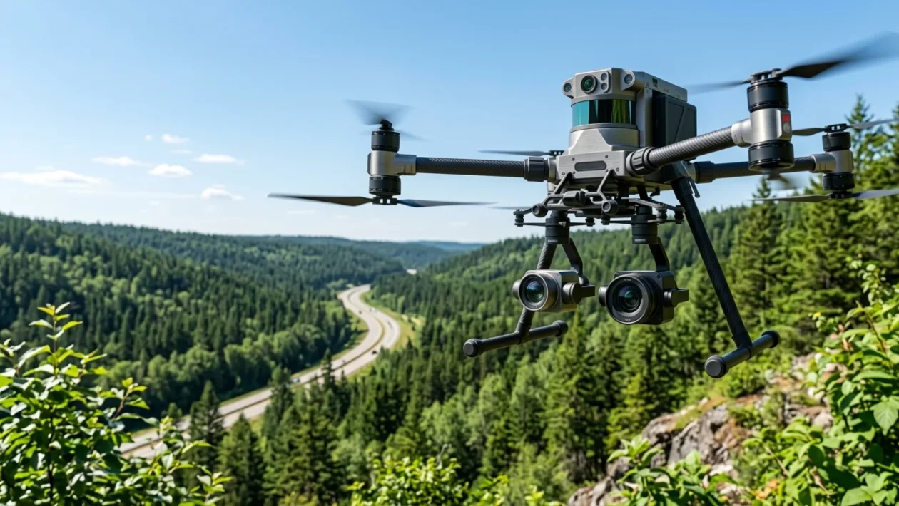
That is exactly why Alto is deploying high-tech drones over Ottawa and Eastern Ontario this spring.
Here is how the aerial survey process actually works on the ground:
- Laser Precision Scanning: Drones equipped with LiDAR shoot millions of laser pulses at the ground to create a flawless 3D topographic map.
- Obstacle Detection: The cameras identify potential geological hurdles, from hidden sinkholes to dense bedrock, long before shovels hit the dirt.
- Environmental Protection: Surveyors pinpoint sensitive wetlands and wildlife corridors from the air, ensuring the tracks route safely around them without disturbing the ecosystem.
These aren’t your kid’s remote-control toys; these are flying data centers.
“Using aerial drone technology shaves years off the environmental assessment phase and saves millions in preliminary engineering costs. It is an absolute game-changer for North American infrastructure.”
The 3-Hour Toronto-Montreal Route Breakdown
The ultimate goal here is shrinking the massive distance between Toronto and Montreal into an effortless three-hour ride.
Think about the sheer amount of time you currently waste driving between these two massive cities.
To put this massive upgrade into perspective, let’s look at a quick comparison.
| Travel Method | The Harsh Reality |
|---|---|
| Standard Highway Driving | 5.5+ hours of fatigue, unpredictable traffic, and expensive gas. |
| Alto High-Speed Rail | 3 hours flat, 300 km/h speeds, zero traffic, and legroom. |
By effectively cutting the travel time in half, this route will fundamentally change how Canadians work, live, and travel.
Frequently Asked Questions
Is the Alto train purely electric?
Yes, the entire high-speed system is designed to be fully electrified, significantly reducing our national carbon footprint.
Will the route include stops in smaller Ontario towns?
While the primary express route connects Toronto, Ottawa, and Montreal, the drone mapping phase is currently determining optimal transit hubs for regional connectivity.
Are the survey drones invading residential privacy?
Not at all. The drones operate at specific high altitudes and focus strictly on topographical and geological data along the proposed commercial corridor, not your backyard BBQ.
🤝 Share your thoughts with us—are you ready to ditch the highway and step onto a bullet train?
💡 I know I am counting down the days until I can trade steering wheel fatigue for a smooth, high-speed window seat.
📱 If you found this breakdown helpful, send it to that one friend who complains the loudest about Toronto traffic.
👇 Good luck on your next commute, and keep your eyes on the skies—the future of transit is flying right overhead!